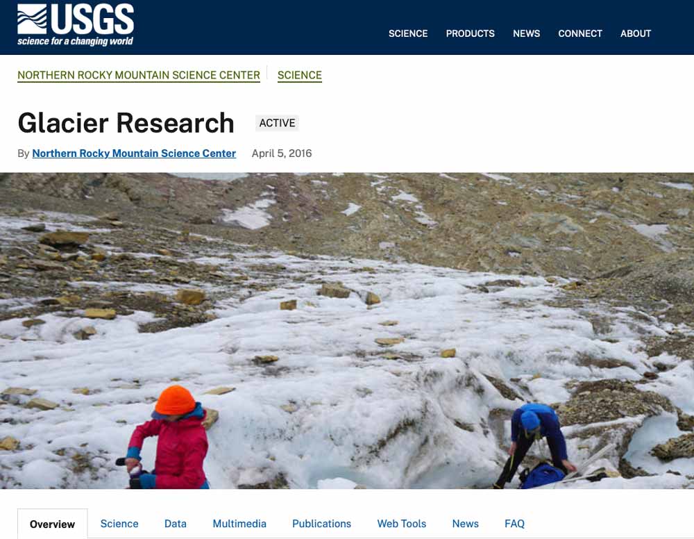
Climatic warming since the end of the Little Ice Age has resulted in substantial glacier ice loss around the world. Most glaciers have undergone thinning and many exhibit retreat at their margins. Glacier loss triggers a cascade of hydrological and ecological effects that impact plants, animals and can create human hazard and economic hardship. USGS scientists are using a variety of methods and technologies to track glacier change in glacierized regions in North America. By understanding the link between climate and glacier loss scientists aim to enhance preparedness as increasing temperatures influence mountain ecosystems worldwide.
The United States Geological Survey was established on March 3, 1879, just a few hours before the mandatory close of the final session of the 45th Congress, when President Rutherford B. Hayes signed the bill appropriating money for sundry civil expenses of the Federal Government for the fiscal year beginning July 1, 1879. The sundry civil expenses bill included a brief section establishing a new agency, the United States Geological Survey, placing it in the Department of the Interior, and charging it with a unique combination of responsibilities: “classification of the public lands, and examination of the geological structure, mineral resources, and products of the national domain.”1 The legislation stemmed from a report of the National Academy of Sciences, which in June 1878 had been asked by Congress to provide a plan for surveying the Territories of the United States that would secure the best possible results at the least possible cost. Its roots, however, went far back into the Nation’s history.